What Is a Location?
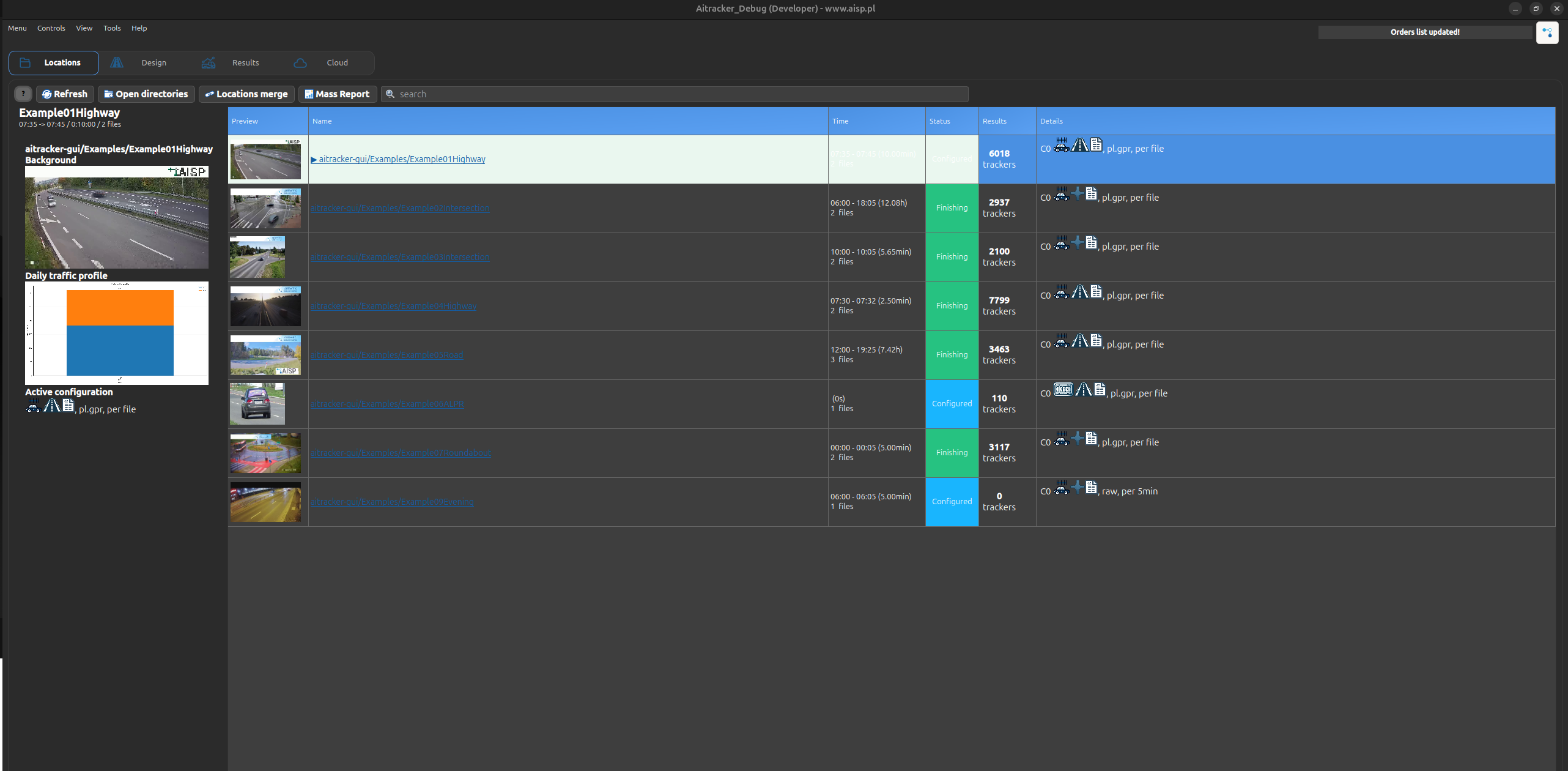
A location in AITracker is a directory containing video recordings from one measurement point. It represents a camera position or monitoring point where traffic data was collected. Its video files can be analyzed, configured, and processed by the application.
After directories are loaded, AITracker scans them for video files and displays every directory as a separate location.
Opening locations
To load locations into AITracker:
- Click Open Directories.
- Select one or more directories containing video recordings.
- The selected directories appear in the locations list.
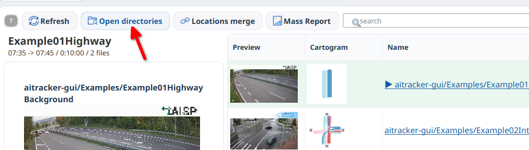
You can select several directories at once to load multiple measurement points.
Locations map
The List / Map switch is located above the locations list. Map mode displays all currently open locations on one map without closing any directories or changing the selected location.
The map shows only locations whose first configuration (Configuration0) has a camera position. A counter above the map reports how many open locations can be displayed. A location without geolocation remains available in the list and can still be processed normally.
Click a marker to select the corresponding location. The map automatically fits its view to all visible locations.
At a detailed zoom level, a camera marker and its popup disappear when movement lines and cartogram labels can take their place. A location without cartogram geometry retains its marker. The other markers return after zooming out.
An older configuration may contain a camera position without saved gate positions. In that case, the map temporarily arranges the missing gates around the camera using their geometry from Design. This does not modify the configuration file or replace manually positioned gates.
Cartogram above a marker
A cartogram preview may be displayed above a marker. The application selects it automatically in this order:
QuantityRelationsCartogram.pngfrom the active configuration,kartogram.pngfrom the active configuration.
If none of these files exists, the marker remains visible with an empty, neutral preview area. The cartogram is not copied into or saved with the configuration. After a new report is generated, the map uses the current file.
Location information
For each location, the application displays:
- number of video files,
- start and end times,
- duration,
- whether the directory contains a configuration,
- whether the directory contains results,
- number of movements, areas, and sections.
The active location is highlighted across the full width of its row. The details panel on the left displays a preview, a native daily traffic-profile chart with movements and peak periods, and a summary of the active configuration for the selected entry.
Video-file timeline
The video-file list contains a vertical timeline next to the detailed table. Recording blocks are positioned by clock time, so an empty area indicates a gap and parallel blocks indicate overlapping recordings. Blue segments are available, yellow segments are missing from the current directory, and grey segments are unprocessed.
Hover over a block to see its index, time range, duration, frame count, FPS, and status. Click it to select the segment and reveal its table row. Double-click an available segment to open it in the player. Selecting and scrolling through the table updates the highlight and the translucent visible-range marker on the timeline.
Use the mouse wheel to scroll through time. Hold Ctrl while using the wheel to zoom around the time under the pointer, or click Fit to display the complete range. Tick spacing changes automatically with the zoom level.
Combining multiple directories
If one measurement is stored in several directories, see Combining Multiple Directories into One Location.
Location context menu
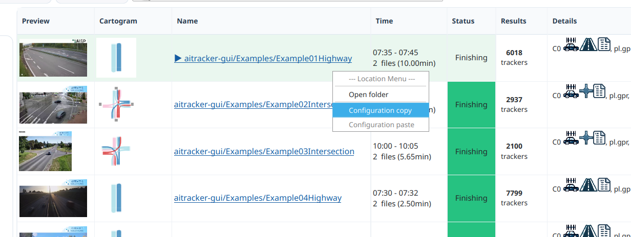
Right-click a location in the list to open a context menu with additional actions:
- Open Folder — opens the location directory in the system file browser.
- Copy Configuration — copies the current location's configuration to the clipboard.
- Paste Configuration — applies the copied configuration to the selected location.
This is useful when applying the same movements, areas, and detection parameters to several measurement points.